Alanbileysfeathercut
Player Valuation: £80m
Or Lawro in the bushes........Don't know - notice no promenade or wall either ....
Or Lawro in the bushes........Don't know - notice no promenade or wall either ....


My Dad was from Conway Street and my grandad had a Grocer’s shop there…effectively the front room of their house.….Conway St, off Gt Homer St;
View attachment 236322
View attachment 236323
View attachment 236324
View attachment 236325
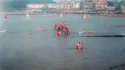
Enlarged it for you great phot0 - I like the diving boards great ideaBallyholme beach in Bangor, Northern Ireland.
I remember those diving boards but they were out of order by the time my teenage self wanted a go
")


interesting design, particularly the round end walls and the archway entrance.
interesting design, particularly the round end walls and the archway entrance.
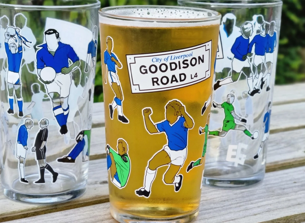
Our exclusive Everton pint glasses are a true collector’s item that pays homage to Goodison Park through iconic players who have graced the pitch over different generations.
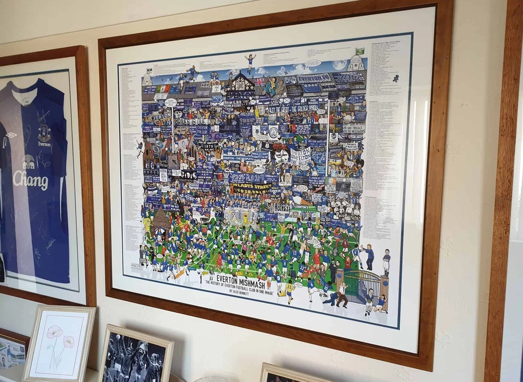
The history of Everton FC in one image! “The best Everton thing I’ve ever got!”
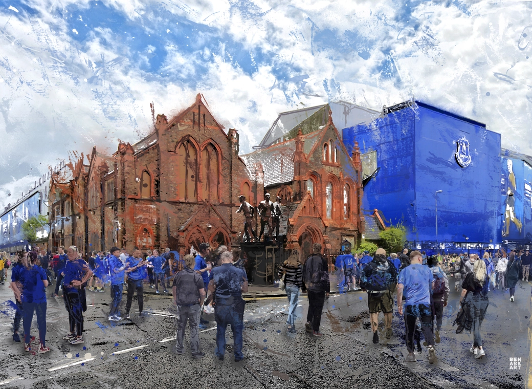
A truly, wonderful piece which brings memories of visits to Goodison Park alive.
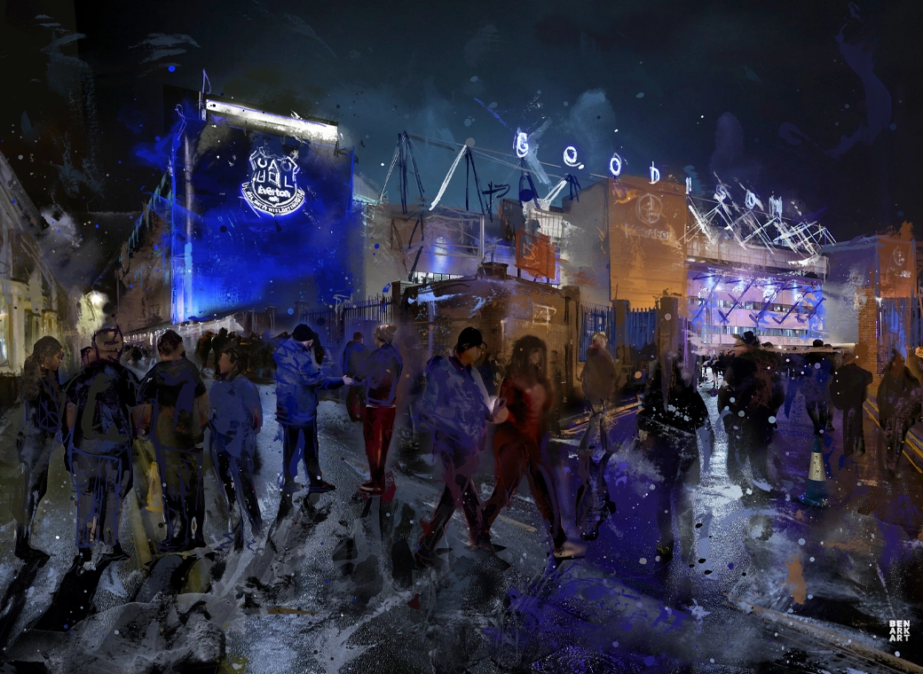
This print wonderfully encapsulates the magic of the ‘Goodison Under The Lights’.
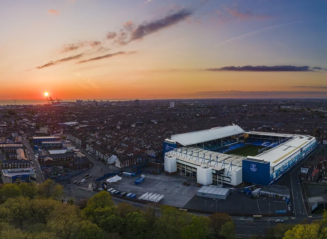
A wonderful, A3 aerial print of Goodison Park.
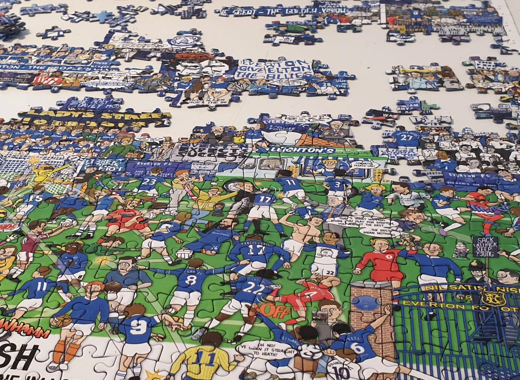
A special, limited edition 1,000 piece jigsaw of the popular Everton Mishmash – The History Of Everton FC In One Image!
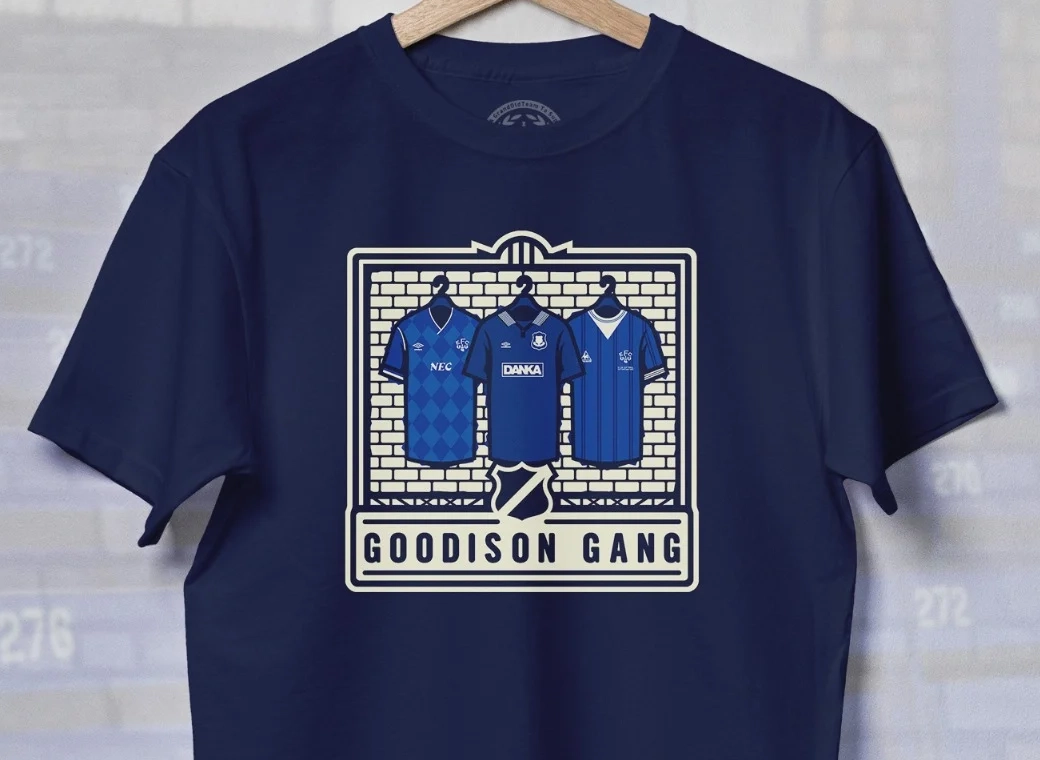
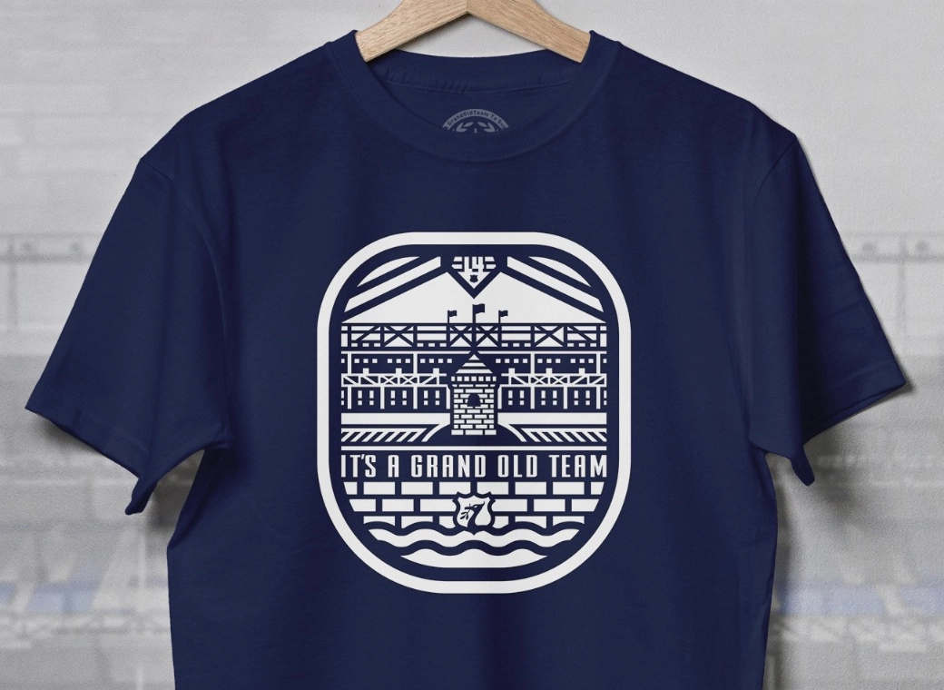
Introducing our Goodison Gang Everton T-Shirt.
Our newest Everton T-Shirt.
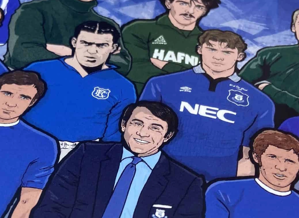
Everton champions, legends, and long-time servants assembled together in one squad photo!